
PROjects
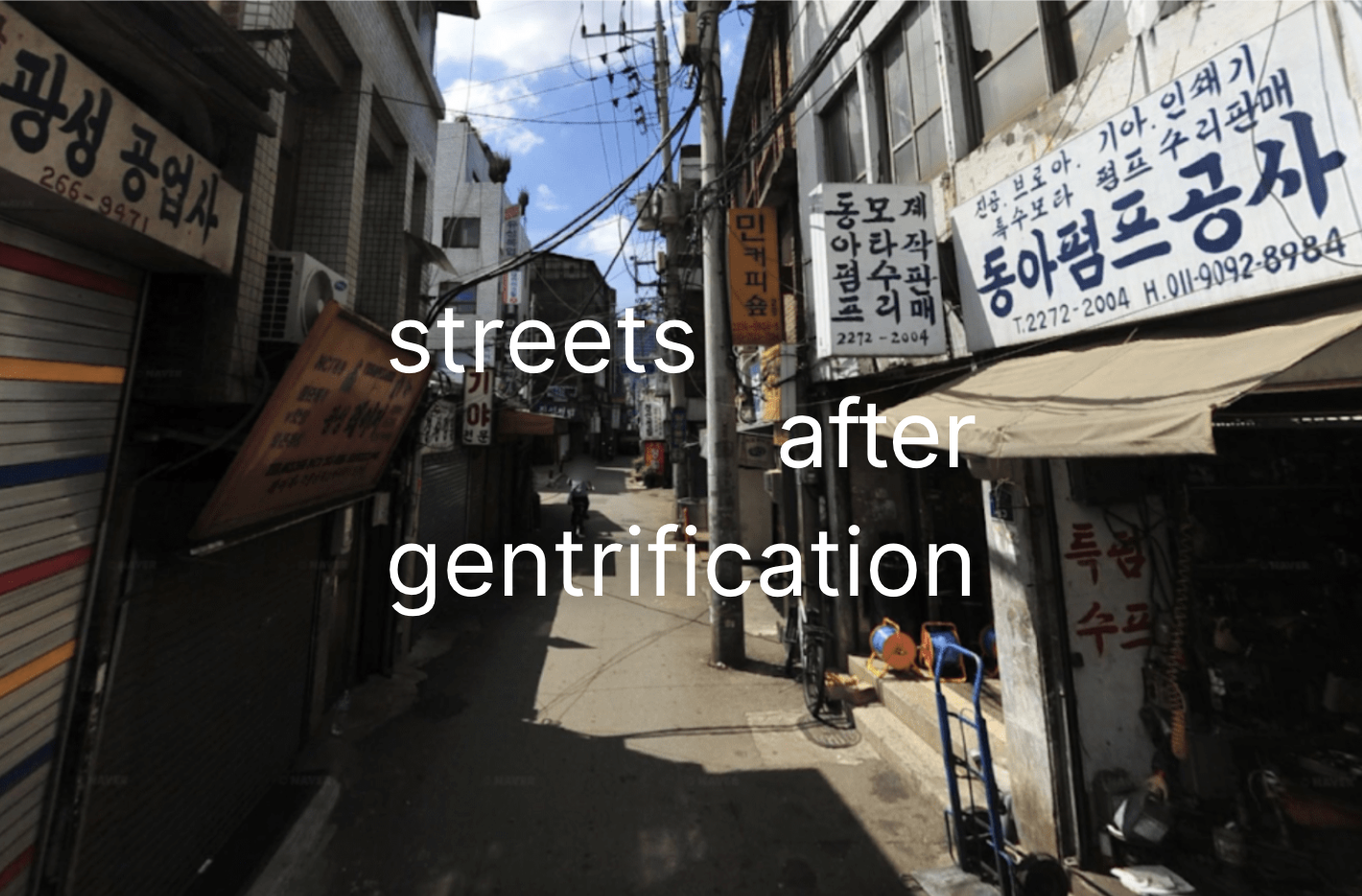
Streets After Gentrification
Keywords: Street view, image recognition, OCR, industrial displacement, industrial gentrification
Collaborators: Principal Investigators: Dr. Chaewon AHN Research Assistants: Mr. Shobhit GOEL, Ms. Xinyi HE
Status: Ongoing.
Streets After Gentrification: Monitoring Industrial Displacement through Street View Images
Project Summary
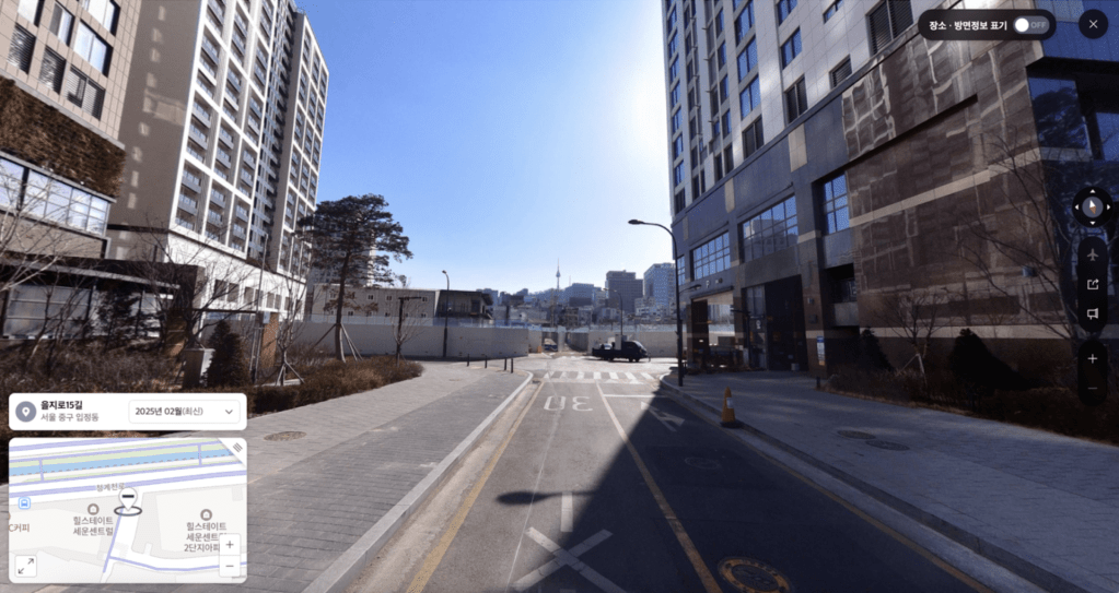
Street view images provide a rich source for urban analytics given the temporal consistency, wide coverage, and richness in the amount of information about the cityscape. This project taps into this rich resource to document industrial displacement that unfold in state-sanctioned, profit driven large scale urban redevelopment projects in Seoul, South Korea. These development projects resulted in direct displacement of businesses in redevelopment sites and industrial gentrification in neighboring blocks. In industrial gentrification, wherein incumbent businesses are pushed away due to direct and indirect measures, the consequences of the displacement of businesses have greater ramifications to the local industrial ecosystem in which incumbent businesses participate. The project compliments existing blind spots in the methodological scholarship on quantifying neighborhood change and displacement through mapping and urban analytics.
The multidimensional nature of gentrification and the availability of relevant data has been a big obstacle against mapping and quantifying gentrification. The challenge in mapping industrial gentrification is twofold: informal incumbent businesses are often difficult to geolocate due to omissions from official data sources, and their services are tricky to characterise as they do not neatly fall into official classification methods.
Objectives & Research Questions
Document industrial displacement in redevelopment zones using street view images. Identify and classify businesses affected by industrial gentrification. Track displaced industries and their survival across neighbourhoods. Enhance methodologies for mapping and analyzing industrial gentrification.
Project Methodology
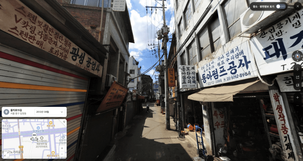
The project leverages street view images as an alternative source to better characterize incumbent industries that undergo industrial gentrification and displacement. While the businesses may not be present as POIs in commercial map services, or official datasets, the service that they offer and the types of products that they sell can often be observed in street views.
The text on the signboards and the shop facades offers a rich description of the business, and the products or machineries that are visible in the street view images make it discernable to clarify the line of work they engage in. The project builds a methodology that ranges from data collection of street view images in different timescales, image recognition frameworks to identify the text on the signboards and facades and the and the objects from the scenes. This methodology enhances industrial displacement monitoring by effectively mapping the services and types of jobs that are lost due to industrial gentrification, and traces whether displaced incumbent industries survive displacement, and if so, where they end up.